 NGA Taps Maxar To Do Land Use Change Detection
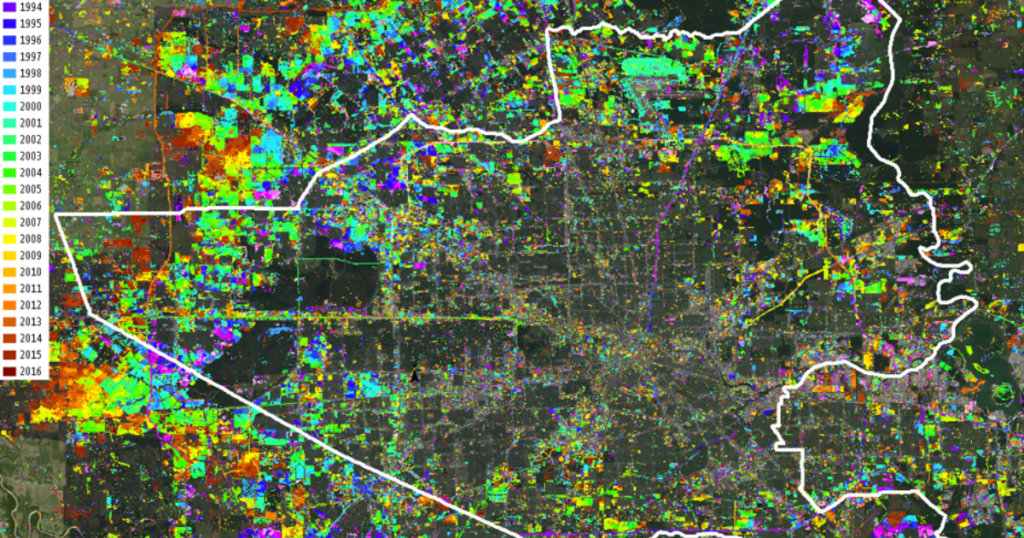
Satellite imagery behemoth Maxar Technologies has won $20 million in contracts from NGA to provide land use change detection analysis. Near real-time change detection analysis is a bit of a holy grail for US intelligence agencies as they keep tabs on adversaries.
As Maxar explains in its press release today, “Automated change detection visually exposes areas of important change, enabling rapid and effective intelligence gathering across thousands of images from multiple sources.”
Under the contracts, the company will provide “updates and enhancements using its sophisticated change detection model and deliver land cover and classification solutions in support of NGA’s needs.” Land cover classification, the Maxar release says, “provides a global view of the current landscape by applying machine learning to perform automated spectral, spatial and temporal classification, enabling a better understanding of how specific regions of Earth are being used on a micro scale.”
No comments:
Post a Comment